Better Location Storytelling
Show neighborhood context, lot orientation, and nearby amenities clearly.
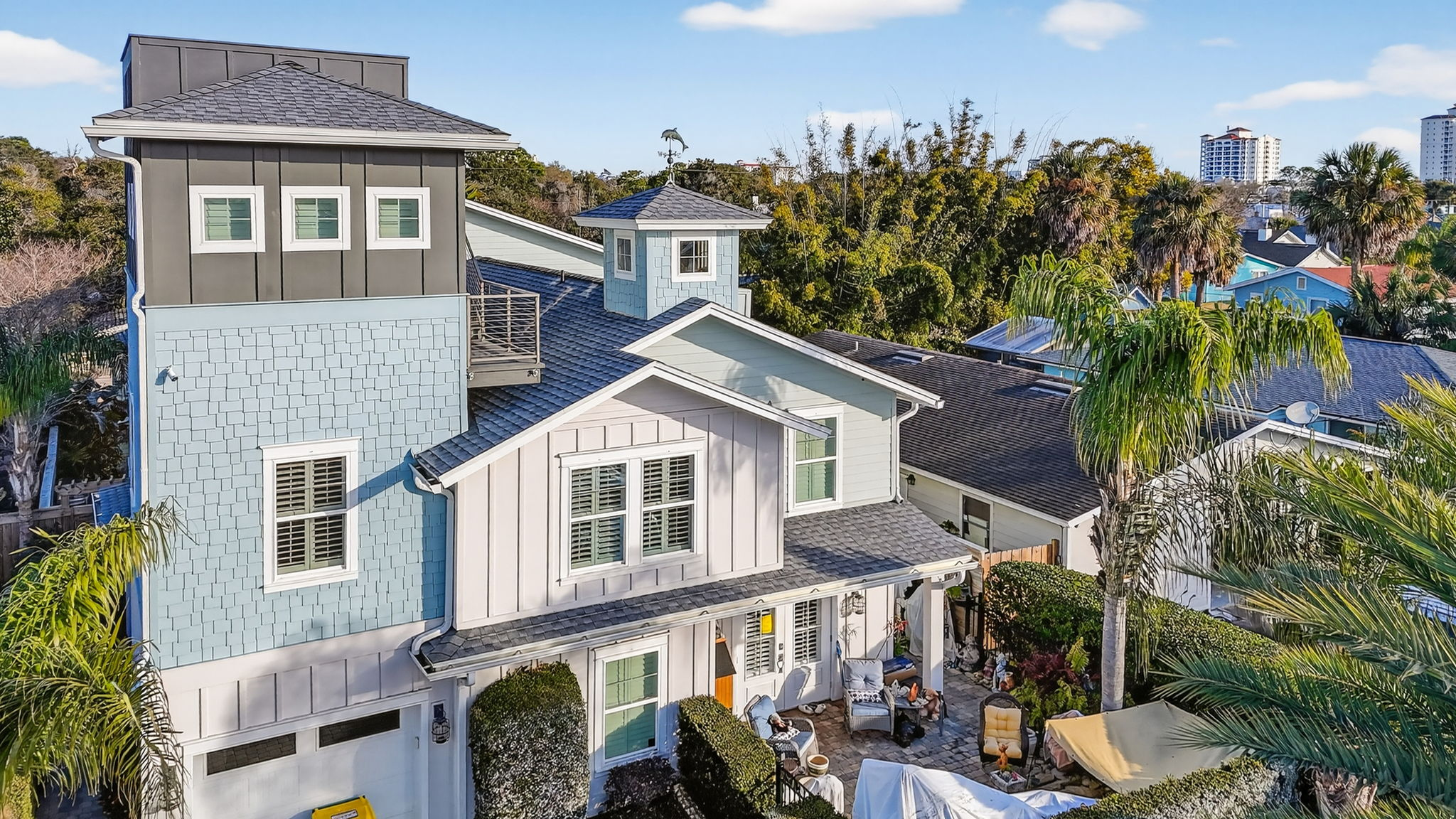
Aerial listing imagery that strengthens property context, improves differentiation, and supports stronger market positioning.
Drone photography adds context that ground-level media cannot provide. It helps buyers understand lot layout, surroundings, and location value at a glance.
For agents, these visuals strengthen listing presentations and improve perceived professionalism by showing a complete marketing approach, not just basic coverage.
Our aerial work is captured with safety, precision, and strategic framing so each image contributes to better positioning and stronger market visibility.
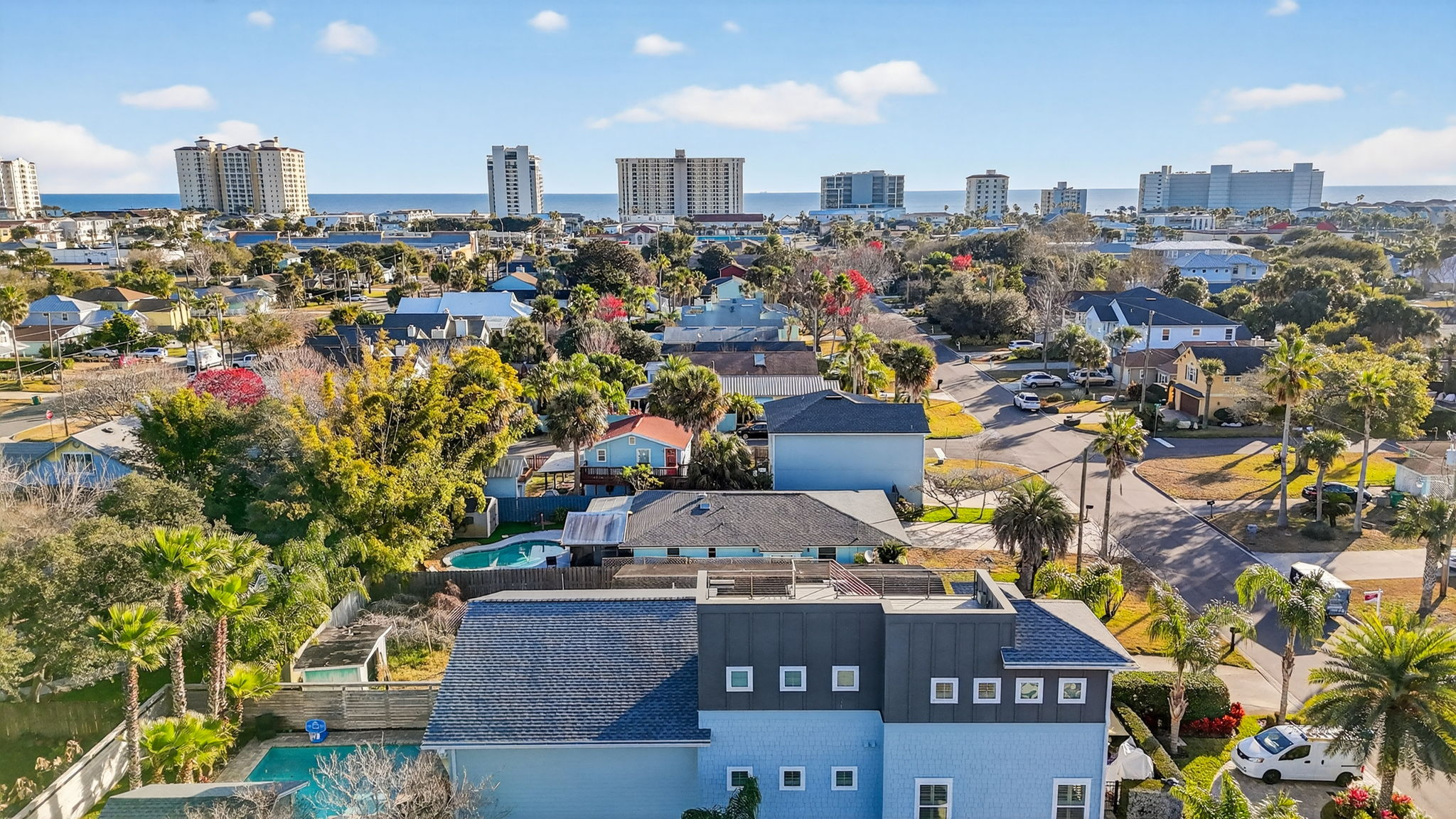

Show neighborhood context, lot orientation, and nearby amenities clearly.
Aerial visuals create differentiation in crowded listing feeds.
Comprehensive coverage reinforces your marketing professionalism.
Use aerial photos across MLS, social campaigns, and presentation decks.
Break the standard. Showcase the difference. Use aerial media to elevate presentation quality and competitive advantage.